
Map of Structured or Commercial Activities Along the Waterfront
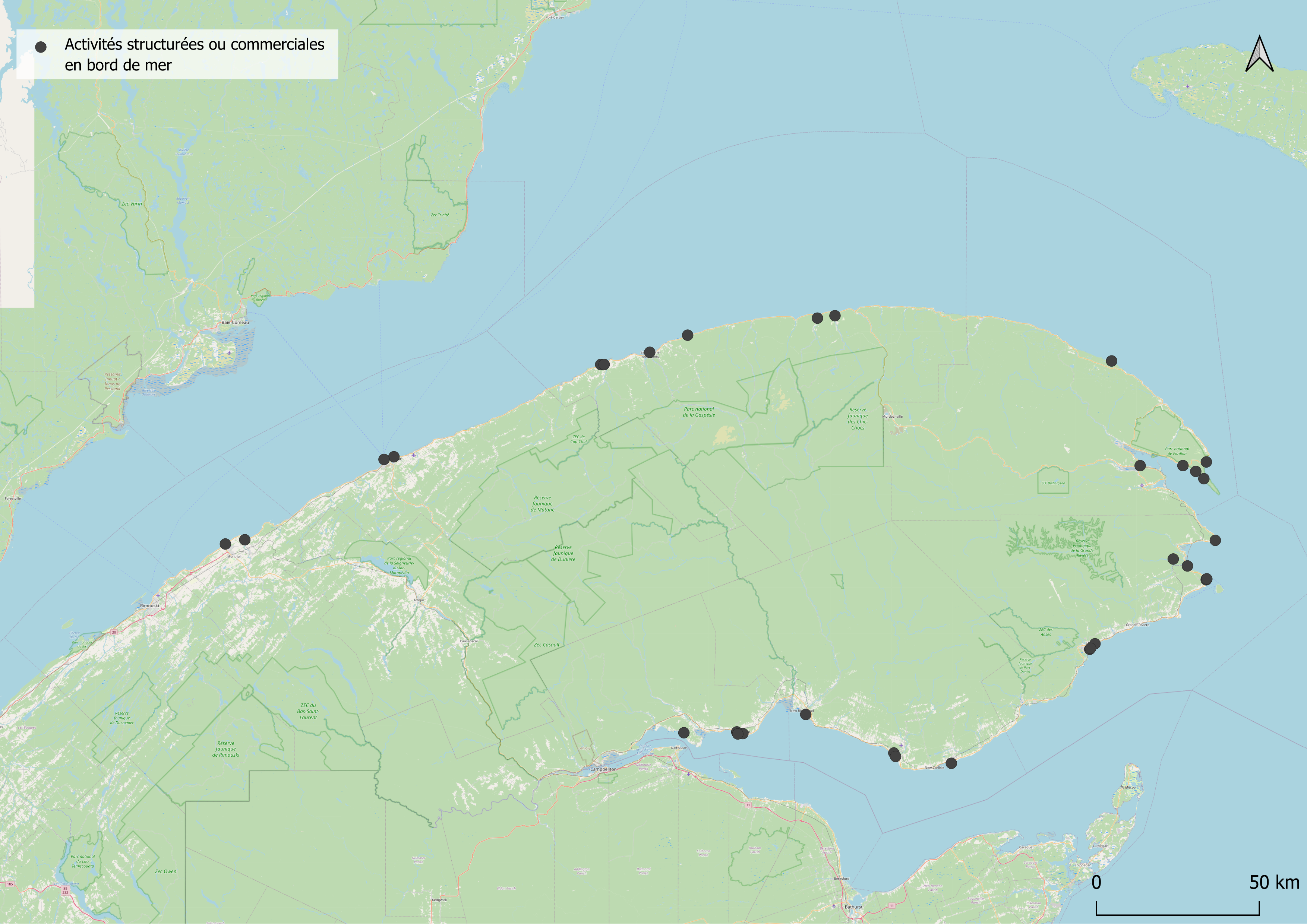
Map that indicates organizations with a usual link to the St. Lawrence River and Chaleur Bay, along with the locations of structured or commercial activities along the waterfront.
| Format | PNG |
|---|---|
| Media type | image/png |
| Protocol | WWW:LINK |
| Last updated | 2026-07-31 |
| Created | 2024-03-05 |